Download PDF
Download page Quanta Plus Documentation.
Quanta Plus Documentation
Product overview
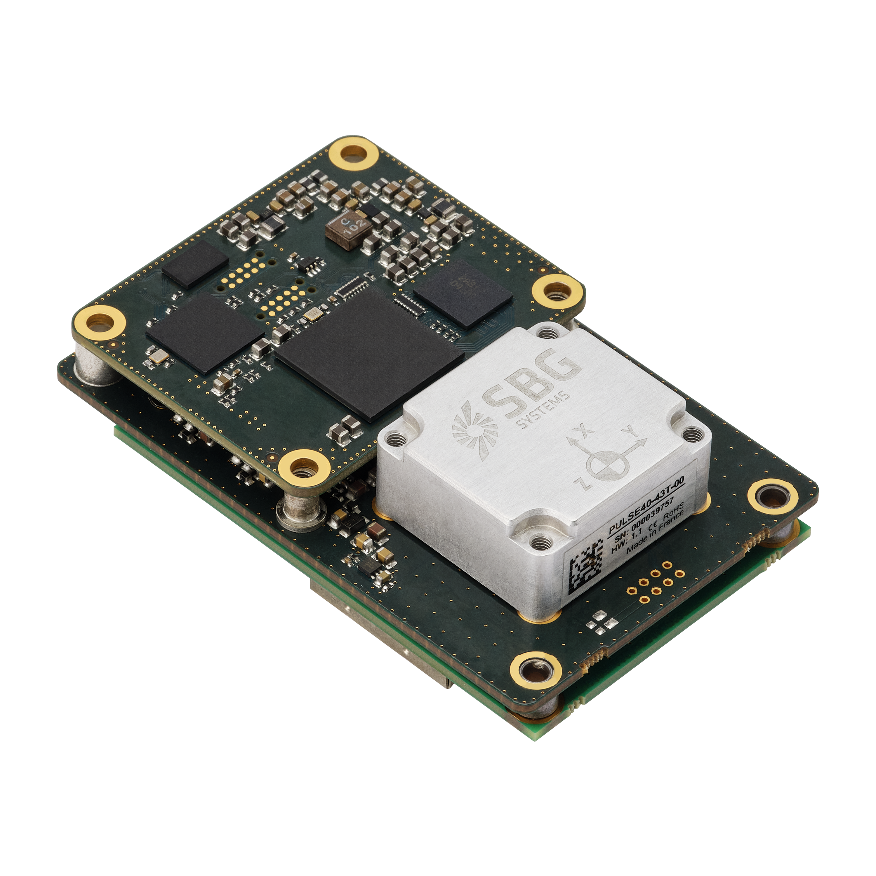
Quanta Plus is an advanced GNSS-aided Inertial Navigation Systems (INS) with exceptional performance across various land, marine, and airborne applications in a compact "OEM" form factor.
It excels in UAV navigation and surveying applications, thanks to its remarkable performance, especially in challenging GNSS environments.
These systems come in compact board-level packaging and boast impressive SWAP (Size, Weight, and Power) characteristics, allowing seamless integration into space-constrained applications.
The Quanta Plus system features a tactical-grade IMU that minimizes errors during challenging or GNSS-denied conditions, while its low sensor noise ensures outstanding orientation performance.
To complement the IMU Quanta Plus is equipped with a multi-frequency, quad-constellation, quad-frequency, dual-antenna geodeticGNSS receiver, capable of delivering highly accurate positioning, even in demanding GNSS environments. While it is compatible with single-antenna operation, an optional secondary antenna allows for usage in the lowest dynamic conditions.
Moreover, Quanta Plus incorporates dedicated motion profiles tailored to different vehicle types, optimizing the sensor fusion algorithms for each specific application.

Integration with Qinertia
Quanta Plus and Quanta Extra are fully compatible with our Qinertia PPK Software, enabling a seamless integration that enhances surveying applications with unparalleled accuracy. Qinertia state-of-the-art PPK (Post-Processing Kinematic) algorithms, ensuring the highest level of precision. Some notable features include:
- Triple-band, full constellations, PPK corrections, maximizing the accuracy and availability of precise positioning data.
- Forward/Backward merge processing, reducing impact of GNSS outages and optimizing data fusion and overall accuracy.
- Advanced bias and scale factor estimation, utilizing independent multi-pass processing and bias propagation techniques.
- Direct integration of multiple CORS (Continuously Operating Reference Stations) networks, with easy selection of the base station and precise point positioning (PPP) control for published position accuracy. Qinertia also offers a user-friendly import feature for base station data.
- The inclusion of a Seamless Virtual Base Station (VBS) feature, which is particularly beneficial for missions conducted in remote areas or large-scale projects like corridor mapping.
- Geodesy and projection capabilities, facilitating accurate positioning and coordinate transformation.
- Long baseline algorithm, specifically designed to address challenging weather and solar activity ensuring reliable results even in harsh conditions.
Functional block diagram

Summary